Seattle is a city full of interesting and architecturally signifigant bridges.
Here is a list of all of the ones I know about.
| Name | Image | Year Opened | Type | Length | Spans | Carries | Coordinates |
|---|---|---|---|---|---|---|---|
| Arboretum Sewer Trestle | 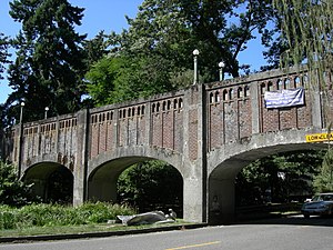 | c.1913 | Arch | 180 ft (55 m) | Lake Washington Boulevard E | Sewer and a footpath | 47.63952°N 122.29724°W |
| Ballard Bridge | 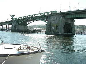 | 1917 | Bascule | 2,854 ft (870 m) | Salmon Bay | 15th Avenue NW | 47.65980°N 122.37622°W |
| Cowen Park Bridge | 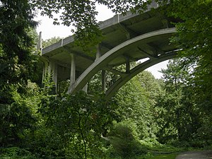 | 1936 | Arch | 358 ft (109 m) | A ravine in Cowen Park | 15th Avenue NE | 47.67338°N 122.31178°W |
| First Avenue South Bridge | 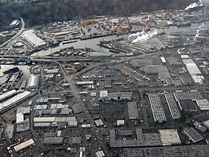 | 1956 | Bascule | 300 ft (91 m) | Duwamish River | State Route 99 | 47.54231°N 122.33443°W |
| Fremont Bridge | 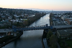 | 1917 | Bascule | 242 ft (74 m) | Fremont Cut | Road connecting Fremont Avenue N and 4th Avenue N | 47.64750°N 122.34967°W |
| George Washington Memorial Bridge (Aurora Bridge) | 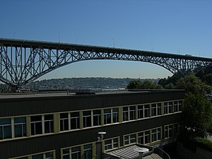 | 1932 | Cantilever and truss | 2,945 ft (898 m) | Lake Union | State Route 99 | 47.57112°N 122.35366°W |
| Homer M. Hadley Memorial Bridge | 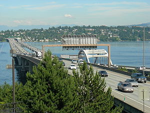 | 1989 | Floating pontoon | 5,811 ft (1,771 m) | Lake Washington | Interstate 90 | 47.58984°N 122.26942°W |
| Jeanette Williams Memorial Bridge (West Seattle Bridge) | 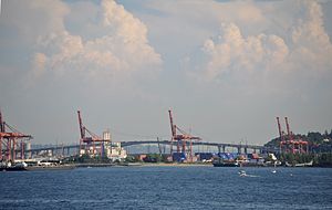 | 1984 | Cantilever | 2,607 ft (705 m) | Duwamish River | Road connecting Fauntleroy Way SW and the Spokane Street Viaduct | 47.57094°N 122.35033°W |
| Jose Rizal Bridge (12th Ave South Bridge) | 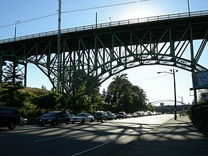 | 1911 | Truss arch | 420 ft (130 m) | S Dearborn Street and Interstate 90 | 12th Avenue S and Interstate 90 | 47.59584°N 122.31728°W |
| Lacey V. Murrow Memorial Bridge | 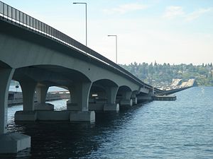 | 1993 | Floating pontoon | 6,620 ft (2,020 m) | Lake Washington | Interstate 90 | 47.58988°N 122.27031°W |
| Magnolia Bridge | 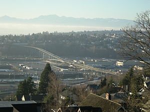 | 1930 | Truss | 3,600 ft (1097 m) | Filled-in tidelands of Smith Cove | W Garfield Street | 47.63344°N 122.38255°W |
| Montlake Bridge | 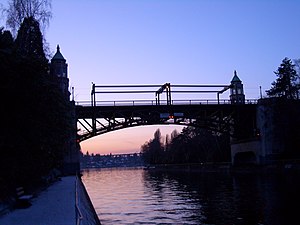 | 1925 | Bascule | 344 ft (105 m) | Lake Washington Ship Canal | State Route 513 | 47.6473°N 122.30468°W |
| North Queen Anne Drive Bridge | 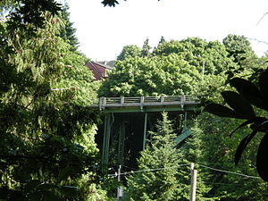 | 1936 | Arch | 238 ft (73 m) | Wolf Creek | N Queen Anne Drive | 47.64206°N 122.35238°W |
| Salmon Bay Bridge | 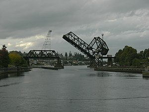 | 1914 | Bascule and truss | 200 ft (61 m) | Salmon Bay | BNSF Railway | 47.66680°N 122.40213°W |
| Ship Canal Bridge | 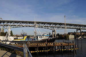 | 1962 | Truss | 4,429 ft (1,350 m) | Portage Bay | Interstate 5 | 47.65309°N 122.32252°W |
| Schmitz Park Bridge | 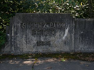 | 1936 | Rigid frame | 175 ft (53 m) | A ravine in Schmitz Park | SW Admiral Way | 47.57731°N 122.40310°W |
| Spokane Street Bridge | 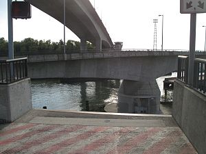 | 1991 | Swing | 480 ft (150 m) | Duwamish River | SW Spokane Street | 47.57138°N 122.35336°W |
| SR 520 Albert D. Rosellini Evergreen Point Floating Bridge | 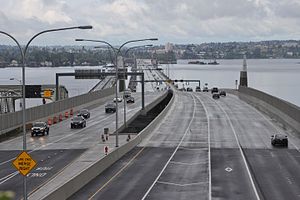 | 2016 | Floating pontoon | 7,708 ft (2,350 m) | Lake Washington | State Route 520 | 47.64051°N 122.26019°W |
| 20th Avenue NE Bridge | 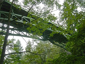 | 1913 | Arch | 354 ft (108 m) | A ravine in Ravenna Park | 20th Avenue NE (pedestrian access only) | 47.67189°N 122.30632°W |
| University Bridge | 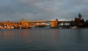 | 1919 | Bascule | 218 ft (66 m) | Portage Bay | Eastlake Avenue NE | 47.65309°N 122.32010°W |